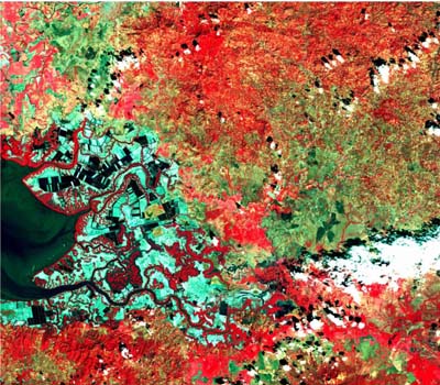
McGill Library has a small collection of Spot satellite imagery. Spot is a medium-resolution (2.5 to 10 metre) satellite. All of the images in our collection have been radiometrically and geometrically corrected. In addition, the images are projected in Universal Transverse Mercator. Each satellite image in our collection has two components, a black and white image and a multispectral (4 Band) image.
Metadata
| Official Title | Spot 4 |
| Date | 2006 |
| Format | .DAT |
| Image Pixel Size |
|
| Projection | UTM |
| Datum | WGS84 |
| Extent |
|
| Documentation | Please contact staff at McGill Library. |
| Licence | Restricted to McGill University community. Must be used only for research and educational purposes |
| Access | Members of the McGill Community can obtain copies of the data by filling out the Geospatial Data Request Form. |
| Distributer and Producer | Iunctus Geomatics Corp |
| Citation | Spot 4 Imagery. [state geographic area here]. [computer file]. Lethbridge: Iunctus Geomatics, [year]. |
