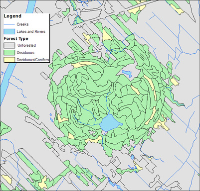
The SIEF contains detailed large scale ecoforestry mapping (1:20 000) of Quebec below the 49th parallel. McGill Library has the area covering the Region of Montreal, and parts of the Gaspe, Beauce, Saguenay, and Abitibi regions. This database information is grouped into the following classes: tree population species, type, age, height, and density; slope and land categories; age and type of original and moderate disturbances; surficial deposits. Basic topographic information is also available with this data set. soil hydrology, and soil drainage. The data available at the GIC is in Shape {shp} format, projected in Geographic NAD83.
Metadata
| Title | Système d'information écoforestière (SIEF) - Ecoforestry information System (Quebec)(SIEF) |
| Author | Ministère des Ressources naturelles et Faune du Québec |
| Date | Various |
| Language | French |
| Format | Shape {.shp} |
| Scale | 1: 20 000 |
| Projection | Geographic |
| Datum | NAD83 |
| Licence | SIEF License agreement |
| Index Map | SIEF Index Map of the datasets available. Interactive Index {Requires Google Earth} |
| Documentation | SIEF Data Attribute Codes (English & French) is the basic guide to the codes used in the SIEF coverage files. For a more detailed explanation of the data consult: Livret explicatif codes (French) and SIEF Specifications techniques (French) |
| Access | Members of the McGill Community can obtain copies of the data by filling out the Geospatial Data Request Form. Please include the title of the dataset (SIEF), and the desired map numbers (ex: 31H05 NO). |
| Citation | Système d'information écoforestière Map Number.[computer file]. 1:20 000, Québec: Ressources naturelles et Faune, year. |
