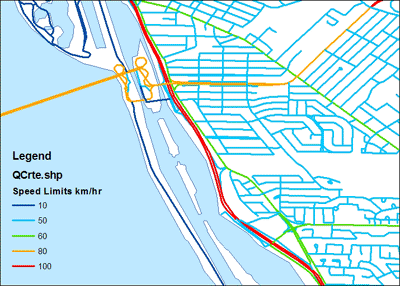
CanMap RouteLogisitics produced by DMTI, can be used for location based service applications, routing and fleet management, market analysis, target marketing, site location analysis, customer service and asset management. Some the features of this data set include: physical and legislated turn restrictions, truck route restrictions, and routing hierarchy. In addition, there is data about collector to express and express to collector exit points, highway exit numbers, routing look up table includes on and off ramps and ferry types, points of interest including weigh stations and aerodromes. Calculated gradient, distance and travel times based on the slope of each segment is also available. It is recommended to use this with the dataset with Canada Base Map (DMTI).
Metadata
| Title | CanMap RouteLogistics |
| Author | DMTI Spatial Inc. |
| Date | 2009-2013 |
| Coverage | Canada wide |
| Language | English |
| Format | ESRI Shape {.shp} and MapInfo {.tab} |
| Projection | Geographic |
| Datum | NAD83 |
| User Agreement | DMTI End User Agreement |
| Documentation | CanMap RouteLogistics version 2010.3 User Manual contains a detailed description of the data. |
| Access | The 2001 version of the data is available for download at: DMTI RouteLogistics 2001 For the most up-to-date (2012) version of the data as well as earlier years, members of the McGill Community can obtain copies of the data by filling out the Geospatial Data Request Form . Please indicate the desired provinces or territories. |
| Citation | CanMap RouteLogistics [computer file] Markham: DMTI Spatial Inc., year. |
