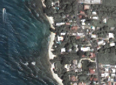
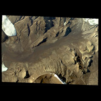
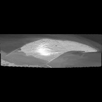
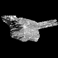
McGill University Library has a small collection of GeoEye's Ikonos satellite imagery. All of the images have been radiometrically and geometrically corrected. In addition, the images are projected in Universal Transverse Mercator. Each satellite image in our collection has two components, a black and white image (82 cm resolution), and a multispectral image (320 cm resolution).
Metadata
| Official Title | Ikonos (Satellite Imagery) |
| Date | Various |
| Format | TIFF / TWF. |
| Image Pixel Size |
|
| Projection | UTM |
| Datum | NAD83 |
| Extent |
  |
| Index Map | Please consult this Quickbird and Ikonos Imagery interactive map index to determine which Ikonos images correspond with your geographic area of interest. |
| Documentation | Please contact McGill Library for documentation |
| Licence | Restricted to McGill University community. Must be used soley for research and educational purposes |
| Access | Members of the McGill Community can obtain copies of the data by filling out the Geospatial Data Request Form. Please list the desired images. |
| Distributer and Producer | Digital Globe |
| Citation | Ikonos Satellite Image. [state geographic area here]. [computer file]. Longmont, Colorado : GeoEye, [year]. |
