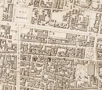
| Title |
Topographical and pictorial map of the city of Montreal |
| Author |
Cane, James |
| Date |
1846 |
| Format |
JPEG {.jpg} |
| Scale |
ca 1:5100 |
| Resolution |
72, 150 dpi |
| Access |
You must be on a campus computer or connect VIA McGill VPN to download these maps. |
| Citation |
Cane, James. Topographical and pictorial map of the city of Montreal [cartographic material] / surveyed and drawn by James Cane, Civil engineer. [1:5200]. [Montreal]: Robert W.P. Mackay, 1846. |
| Additional Information |
This is a digital version of the original, located at the McGill Library Rare Books Division. This map can also be downloaded via the BAnQ. |

