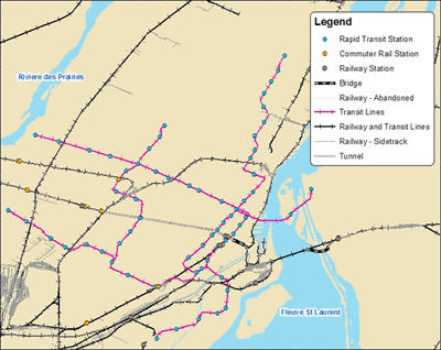
The CanMap Rail produced by DMTI, is a complete database of Canada's rail infrastructure currently in operation, including railway lines classified as abandoned. It features: mainline railway network; side tracks; transit lines (commuter, rapid transit, and light-rail); abandoned tracks; passenger, freight, and transit rail stops; rail ownership and operator information; railway tunnels and bridges. In addition there is information American railways that connect to Canada. It is recommended to use this with the dataset with Canada Base Map (DMTI).
Metadata
| Title | CanMap Rail |
| Author | DMTI |
| Date | 2011-2014 |
| Coverage | Canada wide |
| Language | English |
| Format | ESRI Shape {.shp} and MapInfo {.tab} |
| Scale | 1 : 50 000 |
| Projection | Geographic |
| Datum | NAD83 |
| User Agreement | DMTI End User Agreement |
| Documentation | CanMap Rail Version 2010.1 User Manual contains a detailed description of the data. |
| Access | Members of the McGill Community can obtain copies of the data by filling out the Geospatial Data Request Form. Please indicate the desired provinces and/or territories. |
| Citation | DMTI Spatial Inc. [computer file]. CanMap Rail. Markham: DMTI Spatial Inc., year. |
