Access
Available at the Geographic Information Centre Information Desk. Call number GEO REF G5740 2001 G7 CD-ROM.
Restrictions
Available to all users.
Coverage
2001
Description
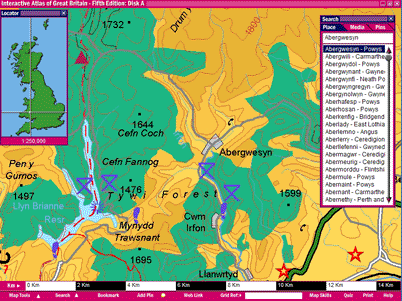
Two CD atlas set produced by the Ordnance Survey covers the landmass of Great Britain. Disk A contains 1:250 000 scale maps, 100 selected 1:50 000 map extracts, photos, fly-throughs, town plans, and a map skills section. Disk B contains 100 selected 1:25 000 scale map extracts
System Requirements
To view the data, you must use the Interactive Atlas of Great Britain software installed on only ONE workstation at the Geographic Information Centre. Please ask GIC staff for assistance
