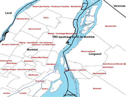
The Système sur les découpages administratifs à l’échelle 1 / 20 000 is a geospatial database that contains boundaries files of the administrative regions, regional municipalities, municipalities, and the arrondissements of the major cities. Please note that this database represent the boundaries of the municipalities as of 2003. It does not reflect the boundaries of the newly formed demerged municipalities. This dataset can be used in conjunction with the BDTQ 1/20 000 database.
Metadata
| Title | Système sur les découpages administratifs à l’échelle 1 / 20 000 | |
| Author | Ministère des Ressources naturelles et Faune du Québec | |
| Date | 2003 | |
| Coverage | Quebec | |
| Language | French | |
| Format | Coverage | |
| Scale | 1: 20 000 | |
| Projection | Geographic | |
| Datum | NAD 83 | |
| Licence | SDA Licence . Restricted to McGill users | |
| Documentation | Please ask GIC staff for documentation | |
| Access | Members of the McGill Community can obtain copies of the data by filling out the Geospatial Data Request Form. | |
| Citation | Système sur les découpages administratifs à l’échelle 1 / 20 000. [computer file]. 1:20 000. Québec: Ministère des Ressources naturelles et Faune du Québec, 2003. |
